
Why Construction Surveys Are the First Developers Delay
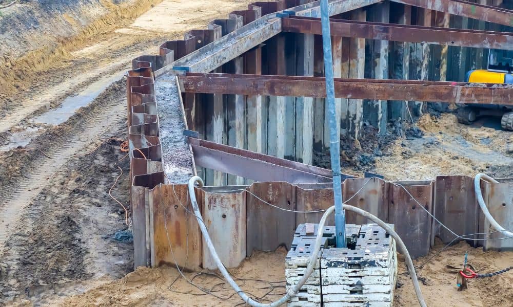
Across Chicago, major infrastructure plans keep hitting the brakes. Funding pauses, shifting priorities, and longer approval timelines have made many developers uneasy. As a result, projects that once looked ready to move forward now sit in limbo. When that happens, one step almost always gets delayed first: construction surveys. At first glance, that choice feels […]
How a Boundary Line Survey Prevents Costly Disputes
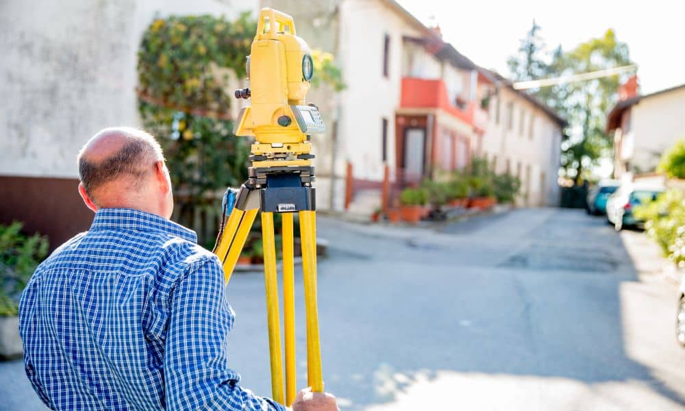
Living in Chicago means living close to your neighbors. Homes sit shoulder to shoulder. Side yards run narrow. Rear lots leave little room for error. Because of that, property line issues don’t start with bad intentions. They start with assumptions. A boundary line survey removes those assumptions before they turn into expensive disputes. Most property […]
How LiDAR Mapping Is Used to Rethink Urban Heat and Trees

Chicago is known for its tall buildings, busy streets, and changing seasons. However, in recent years, the city has faced a growing challenge that many people do not see right away—urban heat. Some neighborhoods feel much hotter than others, even on the same day. At the same time, tree cover across the city is uneven. […]