
How LiDAR Mapping Is Used to Rethink Urban Heat and Trees
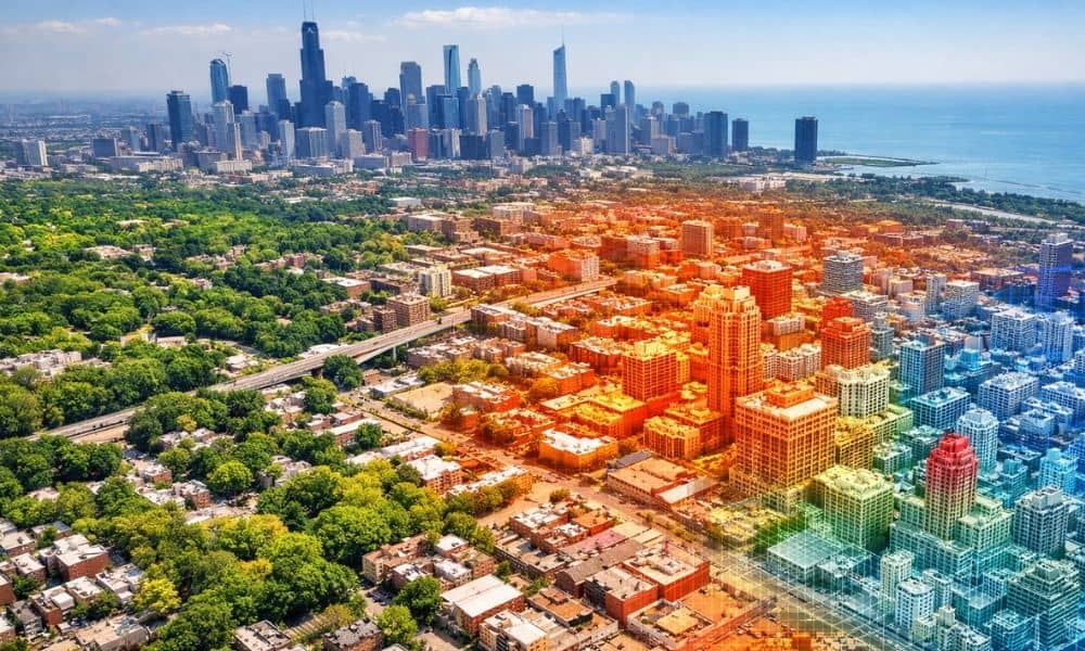
Chicago is known for its tall buildings, busy streets, and changing seasons. However, in recent years, the city has faced a growing challenge that many people do not see right away—urban heat. Some neighborhoods feel much hotter than others, even on the same day. At the same time, tree cover across the city is uneven. […]
Why Infrastructure Growth Is Driving LiDAR Mapping Demand
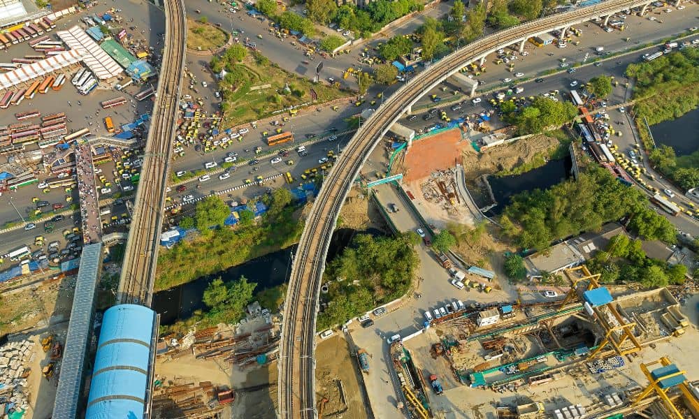
Chicago is rebuilding, even if it does not always make the news. Across the city and nearby areas, large infrastructure projects are moving forward. Rail corridors are being upgraded. Roads are being redesigned. Flood-prone areas are getting more attention. Behind all this work is something many people do not see. That is accurate ground data. […]