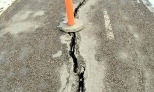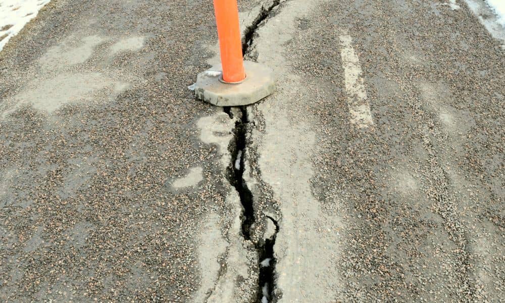
In early 2024, something strange showed up on a sidewalk in Chicago’s Roscoe Village neighborhood. It wasn’t a pothole or a broken slab. It was a hole in the concrete that looked—believe it or not—like a rat. Locals snapped photos, tourists stopped to stare, and social media lit up with laughs and theories. Dubbed the “Chicago Rat Hole,” this quirky sidewalk crack quickly became a viral sensation. But underneath the humor, something more serious was going on. That sidewalk flaw was just one small sign of a bigger issue: aging infrastructure in a busy city. And that’s where drone surveying comes into the picture.
Why the “Rat Hole” Was More Than Just a Joke
Yes, the rat-shaped hole was funny. But think about it for a second. How many other cracks, dips, or sinkholes are hiding under our feet?
Sidewalks don’t break for no reason. Sometimes it’s water damage. Other times it’s old materials giving out. In cities like Chicago, where winters freeze the ground and summers bake it, surfaces expand and contract all the time. Over the years, that creates gaps, breaks, and shifting soil.
The “Chicago Rat Hole” just happened to go viral. But plenty of problems like it go unnoticed until someone gets hurt—or until it’s too expensive to fix quickly.
That’s where technology can help. Specifically: drone surveying.
What Is Drone Surveying, Anyway?
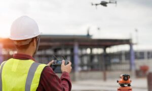
Imagine a flying camera that can scan streets, sidewalks, and buildings from above. It doesn’t just take pictures—it gathers data, creates 3D maps, and shows tiny changes in the ground or structures. That’s drone surveying in a nutshell.
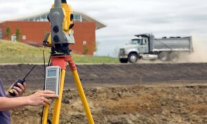
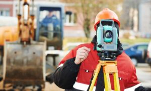
Surveying used to take days, sometimes weeks. Crews walked large areas with tripods, lasers, and notebooks. Now, a trained drone surveyor can fly over a block in minutes and collect highly accurate information.
This makes a huge difference, especially in big cities.
Drones and Urban Inspections: A Perfect Match
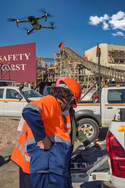
Let’s say the city wants to inspect 50 miles of sidewalk for cracks and weak spots. Traditionally, this would take a lot of workers, time, and money. But with drones?
A drone can fly over the entire route in one morning. It can spot:
- Uneven pavement that could trip someone
- Drainage problems after storms
- Sinkholes forming under the surface
- Cracks growing near utility lines
Drone surveying doesn’t just save time—it finds issues early. That means the city can fix them before they become dangerous or expensive.
Why Needs This Tech Now
Chicago is full of beautiful old buildings, streets, and public spaces. But that also means it’s full of aging infrastructure. Add in harsh weather, heavy traffic, and constant construction, and you’ve got a recipe for wear and tear.
Drone surveying helps city planners, engineers, and contractors stay ahead. Instead of reacting to problems like the “Rat Hole,” they can spot trouble before the public even notices. That’s not just smart—it’s safer for everyone.
Plus, Chicago is a city that’s always building something. Whether it’s downtown towers or suburban developments, drone surveys speed up pre-construction checks, boundary mapping, and progress tracking.
Beyond Sidewalks: Where Else Drone Surveying Helps
The “Rat Hole” was a sidewalk issue, but drone surveying does much more. Here’s where else it helps:
- Road inspections: Drones catch cracks before they become potholes.
- Building monitoring: Especially useful for rooftops and high-rise exteriors.
- Flood zone mapping: After heavy rain, drones spot areas that hold water.
- Bridge inspections: Drones can reach spots humans can’t—safely.
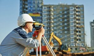
- Construction sites: From staking out the land to checking daily progress, drones are now part of many contractor toolkits.
And yes, they’re being used in residential areas too—for property line surveys, elevation certificates, and even septic system planning.
What Makes Drone Surveying So Effective?
Three things:
- Speed – What once took days now takes hours.
- Accuracy – Drones use GPS and sensors that pinpoint exact locations.
- Safety – No one needs to climb, crawl, or walk into dangerous areas.
When survey data is collected faster and more accurately, decisions get made sooner. And when decisions happen sooner, delays shrink. That’s good news for city officials, builders, and property owners alike.
What This Means for Property Owners and Developers
You might be thinking, “I’m not in the city. Why does this matter to me?”
Here’s why: Drone surveying isn’t just for governments.
If you’re:
- Buying or selling property
- Planning a renovation or new build
- Trying to settle a boundary issue
- Looking to close a mortgage loan
…then a drone survey can help.
It’s faster, cleaner, and often more affordable than traditional methods. And in a place like Chicago, where every inch of land matters, having accurate, up-to-date data is key to avoiding delays, legal problems, or surprise costs.
Final Thoughts:
The “Chicago Rat Hole” gave us a laugh. But it also gave us a wake-up call. Cities need to know what’s going on beneath their streets, around their buildings, and across their neighborhoods.
Drone surveying is the tool that makes this possible. It’s fast, smart, and flexible enough to work in tight urban spaces or wide-open fields.
And as more cities—Chicago included—start to adopt this technology, we’ll see fewer surprises, fewer delays, and safer communities.
So next time you see a drone flying overhead near a construction site or sidewalk, don’t just brush it off. That little machine could be helping prevent the next viral hole—and saving a lot of time, money, and concrete in the process.
