When Lake Michigan suddenly dropped last week, it surprised many Chicago residents and contractors. The National Weather Service said it was a seiche — a quick rise and fall in water levels caused by strong winds and air pressure shifts. The main reports came from Lake Erie, but the same thing happened across all the Great Lakes, including Lake Michigan. This event shows why hiring a drone surveyor matters. When lake levels move even a few inches, your benchmarks, dock elevations, and project stakes can shift too. A drone surveyor can quickly recheck the site and make sure your work stays accurate, safe, and within city rules.
What Happened on the Great Lakes
A seiche is like water sloshing inside a bathtub. When the wind pushes the water to one side, it piles up, then rushes back when the wind changes. It’s not a tsunami, but it can still cause big swings in lake levels.
In some spots, the water dropped more than a foot, then rose again within hours. That kind of fast movement can tilt docks, flood low areas, and mess up elevation points that engineers and builders use. For anyone working near the shoreline, it’s a clear warning that nature can change your project conditions overnight.
Why Elevation Matters More Than You Think
A difference of only a few inches might seem small, but near the water, it can throw off your whole layout.
Think about it:
- A dock that’s too low could end up underwater by spring.
- A seawall set too high might stop proper drainage.
- A ramp that met ADA slope rules before might fail inspection later.
All of this happens because the site’s elevation data becomes outdated. After a seiche, even small shifts can make your work unsafe or noncompliant. That’s why updated surveying is so important — and drones make it faster and safer.
How a Drone Surveyor Fixes the Problem
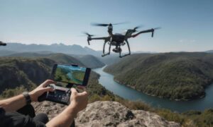
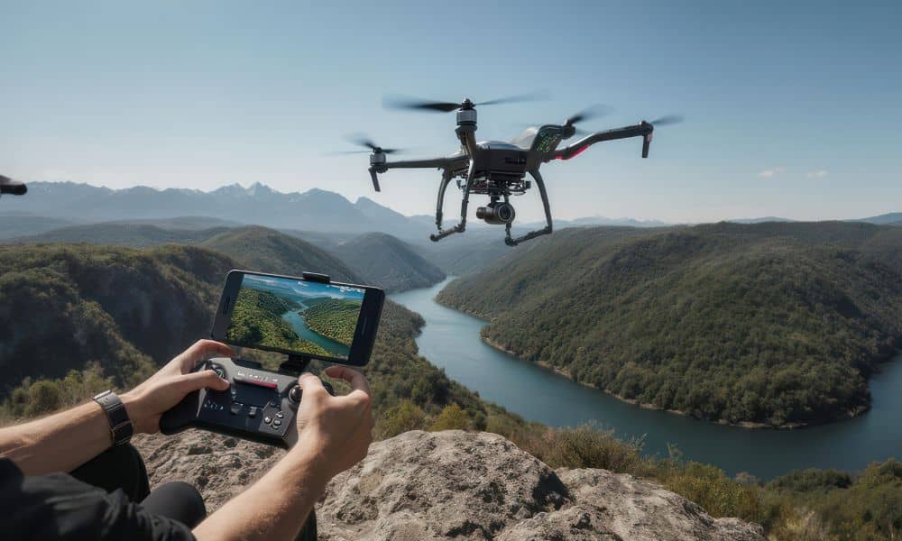
A drone surveyor uses UAVs (unmanned aerial vehicles) with GPS and cameras to capture detailed ground and shoreline data. The drone flies over the site and creates high-resolution maps and 3D models that show the real, current conditions.
Instead of sending people to measure every point by hand, a drone can scan a large area in minutes. Whether it’s Montrose Beach, Burnham Harbor, or a private lakefront project, the drone captures exact measurements that help teams reset benchmarks and confirm elevations.
Drones also keep crews safe by removing the need to walk on wet or unstable ground. The data is ready quickly, so engineers can make fast decisions and avoid costly delays.
The Chicago Factor: Rules and Realities
Chicago’s Lakefront Protection Ordinance sets strict standards for construction near the water. Builders must maintain proper grading, drainage, and setbacks — and that depends on having correct elevation data.
If your project was staked before the seiche, the new lake level might now put it out of compliance. Using a drone surveyor after the event ensures your updated measurements meet city standards.
Many local contractors already do this after big storms. They’ve learned that one short drone flight can prevent expensive rework later.
From Data to Decisions
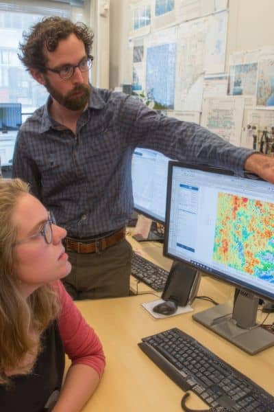
Drone surveys don’t just give speed — they give clarity. A drone surveyor can provide aerial photos, elevation models, and contour maps that fit directly into CAD or GIS programs.
With this data, you can:
- Check how far the high water reached.
- See areas with erosion or sediment buildup.
- Verify that grading still drains correctly.
- Adjust designs before your next inspection or pour.
Because everything is digital, you can easily share it with engineers, clients, and city offices.
Lessons From the Seiche: Stay Grounded When the Lake Isn’t
Events like this remind us that the Great Lakes are always moving. Wind, storms, and pressure changes can reshape shorelines in hours. For a crowded lakefront — full of marinas, parks, and new developments — staying updated is essential.
Hiring a drone surveyor gives you a real-time view of your site. You’ll have proof that your work responds to changes in water and ground levels. That’s good for compliance, insurance, and reputation.
When to Bring in a Drone Surveyor
You should get a fresh survey after a seiche or storm if your project includes:
- Retaining walls, piers, or boardwalks
- Drainage or grading near the lake
- ADA ramps and public access paths
- Marina or dock construction
- Stormwater control systems
Even sites a few miles inland can be affected when lake levels change. A drone surveyor can confirm if the shifts reached your area.
The Future of Shoreline Surveying
Drone technology keeps improving. Modern UAVs use LiDAR, RTK GPS, and thermal sensors to detect small changes in elevation and shoreline stability. This makes it easier to track erosion, flooding risks, and construction progress.
As Chicago continues to expand its lakefront parks and developments, drone surveying will become a regular part of planning and maintenance. It’s fast, accurate, and environmentally friendly.
Final Thoughts
Chicago’s lakefront is always changing, and last week’s seiche was a strong reminder. Builders and engineers can’t rely on old data when nature moves this fast.
A drone surveyor helps you stay ahead of those changes. With updated elevation models and maps, you can adapt before problems start. Whether you’re working on a marina, walkway, or private property, drone surveying keeps your project precise and compliant — even when the lake refuses to stay still.
