Buying a home is stressful enough. Add a flood insurance freeze into the mix, and you’ve got chaos. In the last few days, the federal government’s shutdown caused the National Flood Insurance Program (NFIP) to pause new and renewed policies nationwide. That’s bad news for anyone trying to close on a home near rivers, lakefronts, or flood-prone neighborhoods. If your lender requires flood coverage but the NFIP can’t issue a policy, your closing could be delayed—or canceled. The one document that can help unlock your deal is a FEMA Elevation Certificate. It proves how high your home sits compared to the base flood level and can open the door to private flood insurance or even remove the flood insurance requirement altogether.
The Chain Reaction: When Flood Insurance Stops, Closings Stall
The NFIP is run by FEMA and provides most of the nation’s flood insurance policies. When it goes on pause, insurance agents can’t issue new or renewed coverage. Lenders, by law, can’t finalize a mortgage for any home that requires flood insurance. That means deals are stalling across the country—and especially here in Chicago, where water is part of our landscape.
From the Chicago River to the Calumet corridor, thousands of homes sit in or near FEMA-designated flood zones. If you’re buying one of these properties, your bank will want proof that it’s protected. Without that, your loan can’t close.
Now, here’s where things get interesting. Some buyers and sellers are finding ways to keep deals alive, even while FEMA’s program is frozen. The secret? A current FEMA Elevation Certificate that shows their property may not be as risky as FEMA’s maps suggest.
What a FEMA Elevation Certificate Actually Does

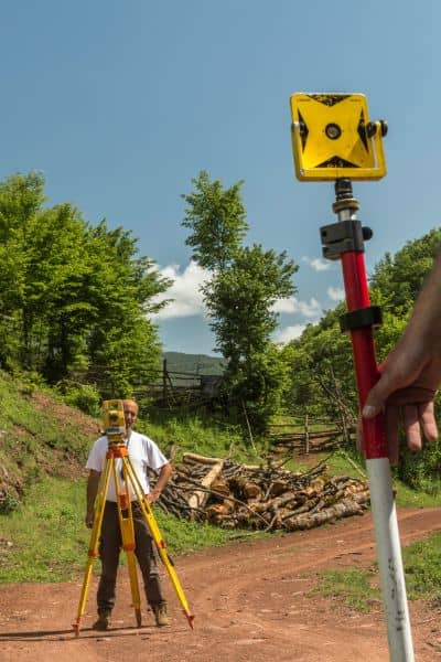
Think of a FEMA Elevation Certificate as your home’s flood “report card.” It’s prepared by a licensed land surveyor and records your property’s key elevations—like the lowest floor, ground level, and nearby floodplain height. These numbers are compared against FEMA’s Base Flood Elevation (BFE) to see how your home stacks up.
If your house or building sits above the base flood level, you might not even need flood insurance. If it’s close but safe, you can often get cheaper private coverage instead of waiting for the NFIP to restart.
In Chicago, where elevation varies block by block, that’s a big deal. A few inches can make the difference between “high risk” and “moderate risk.” For properties near Lake Michigan or the Chicago River, surveyors use benchmarks tied to the NAVD88 system—FEMA’s standard reference for accurate elevation data.
Once you have a certified FEMA Elevation Certificate, you can hand it to your lender or insurance agent. It’s solid, technical proof that could help you close your loan or lower your insurance costs.
How It Can Save Your Chicago Closing
During this NFIP pause, the market hasn’t stopped—people still need to buy and sell. Real estate agents and lenders are scrambling for solutions. The quickest fix is to get a new or updated elevation certificate.
Here’s how it can turn things around:
- It gives your lender data to move forward. If your elevation shows your structure is above flood level, your lender might waive the insurance requirement temporarily or close based on pending coverage.
- It opens the door to private flood insurers. Many private companies rely on elevation certificates to underwrite policies, which means you’re not stuck waiting on FEMA.
- It clears up outdated FEMA maps. Chicago’s flood maps aren’t always current, especially in redeveloped or elevated areas. A new survey provides updated evidence your property is safer than the map suggests.
Surveyors can often deliver a rush FEMA Elevation Certificate in 24 to 48 hours. That speed can make the difference between losing your closing date or saving the deal.
What Buyers Should Do Right Now
If your deal is on hold because of the flood insurance freeze, take these steps before the stress builds up:
First, find out if your property is in a flood zone. Visit FEMA’s Flood Map Service Center or the City of Chicago’s floodplain map viewer. You’ll see your property’s flood risk zone right on the map.
Next, check whether an old certificate exists. Sometimes, the seller or a past owner already has one on file. But if it’s more than a year old or tied to outdated construction, you’ll want a new one.
Then, call a licensed land surveyor. They’ll collect elevation data, compare it to the base flood level, and prepare your certificate. Be sure to mention you need it urgently—many surveyors now offer same-day or next-day service for closing emergencies.
Finally, share the new certificate with your lender and insurance agent. If the results show your structure is safely elevated, your lender can approve the loan or help you switch to private flood insurance right away.
These steps don’t just save your closing—they help you understand your home’s real flood risk and potential long-term costs.
Why Accuracy Matters
Not all elevation certificates are equal. In a complex city like Chicago, accuracy is everything. Our local topography includes river valleys, raised lots, and reclaimed land along the lakefront. Even a small measurement error can put your property in the wrong flood zone.
That’s why it’s crucial to hire a licensed land surveyor with experience in FEMA work. They know how to find the right benchmarks, record precise elevations, and ensure your certificate meets NFIP and lender requirements.
Beyond closings, a precise elevation certificate can also lower your future flood premiums or support a Letter of Map Amendment (LOMA) if FEMA’s map shows your property in a flood zone by mistake.
Keep Calm, Close Smart
Flood insurance freezes come and go, but solid data keeps closings on track. A FEMA Elevation Certificate gives lenders and insurers the facts they need to move forward with confidence. Even when national programs stall, local expertise and accurate elevation data can make the difference between a delay and a done deal.


