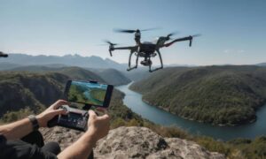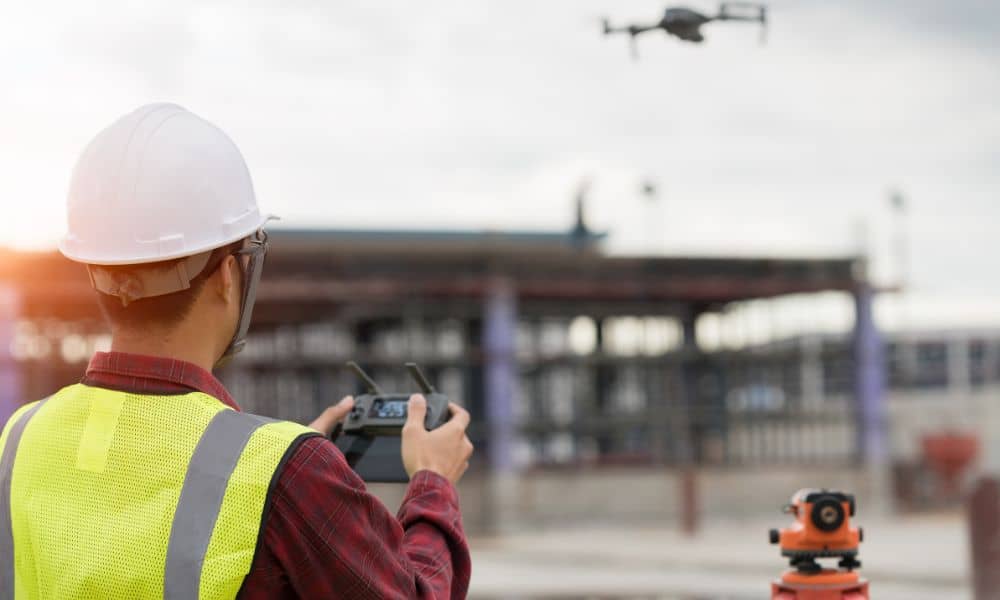
Drone land surveying is changing how surveyors work. Instead of spending days in the field, survey crews can now collect data in just hours using drones. This is especially useful for ALTA Land Title Surveys, where time and accuracy are critical for real estate closings and development projects.
But a new problem is on the horizon. On September 5, the U.S. government announced new restrictions on Chinese-made drones, including DJI. Since most survey companies in Chicago depend on DJI drones, this move could slow down projects and delay important deadlines.
Why DJI Is So Important in Surveying
DJI has been the top choice for surveyors for years. Their drones are reliable, affordable, and capture high-quality images that make mapping faster. In busy areas like Fulton Market or suburban towns like Naperville, drones save hours of fieldwork.
What once required a large crew with traditional equipment can now be done by a drone surveyor team, flying over the site, gathering aerial data, and turning it into accurate plats for clients. This speed is what makes drone land surveying with DJI so valuable for ALTA updates and other survey types in Chicago.
What the New Restrictions Mean
The restrictions don’t ban drones that are already in use. But they may make it harder and more expensive to buy new DJI models. For surveyors, this creates risk for drone land surveying projects that depend on reliable equipment.
If a drone breaks down and replacements are delayed, survey crews could be stuck waiting. In Chicago, where deals and permits move quickly, even a one-week delay can cause problems. Developers might pay extra loan interest, attorneys may need to push back closings, and contractors could lose time on site.
How It Impacts ALTA Surveys

ALTA surveys are often required during property sales, refinancing, or development. They include boundary details, easements, and improvements on the land. Drone land surveying plays a big role in collecting this data quickly.
For example, a drone can capture roof details, parking layouts, or property encroachments in one flight. Without drones, surveyors may need extra field visits, and that can stretch a project timeline. In Chicago, where closings are scheduled tightly, a delay in the survey can mean a delay in the deal.
The Risks for Chicago Projects
Surveying delays affect more than just surveyors—they impact everyone involved in a project.
- Loan closing surveys: Banks won’t release funds until they get an updated survey.
- Construction surveys: Contractors may face downtime if staking is late.
- Subdivision surveys: Developers risk missing deadlines with city or county boards.
In each case, a simple drone supply issue can snowball into big financial losses.
What Surveyors Can Do
Surveyors are already looking for ways to adapt. Some are leasing drones instead of buying. Others are keeping backup DJI models or buying certified refurbished units.
There are also alternatives. U.S. and European companies are offering drones that can handle mapping tasks. While they may not have as many options as DJI yet, they are improving fast.
The most important step is to make sure any new drone meets FAA rules and supports the right tools for mapping and LiDAR.
What Clients Should Know
If you’re a property owner, developer, or attorney, you might worry about how these changes affect you. The truth is, professional survey firms are already making plans to keep projects on track.
Many firms are telling clients: “We have backup drone platforms ready. Your survey will be accurate and on time.” This kind of reassurance shows clients that their surveyor is prepared, even if DJI supply becomes tight.
Looking Ahead in Chicago
While the DJI restrictions bring short-term stress, they may help surveyors in the long run. Depending on one brand was always risky. Now, Chicago firms are diversifying their tools, double-checking compliance, and improving their workflows.
For a city filled with constant construction, real estate deals, and infrastructure upgrades, this shift may lead to stronger and more reliable survey practices in the future.
Conclusion
Drone land surveying has transformed the way surveys are done. It saves time, improves accuracy, and makes projects move faster. The new DJI restrictions show that even strong technology can face challenges.
For surveyors, the answer is to stay flexible and find alternatives. For clients, the lesson is clear: choose a survey partner who has a plan. As technology shifts, drone land surveying will continue to shape how ALTA surveys and property documentation are delivered—keeping projects on schedule and clients confident.
