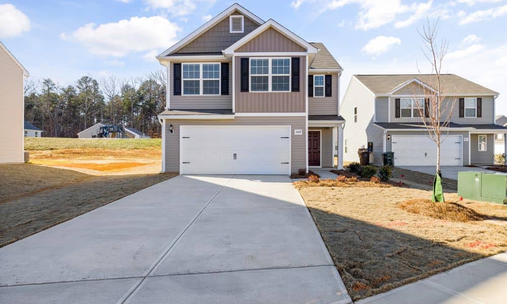
Property ownership feels simple until you run into a problem: land overlaps. Maybe a neighbor’s fence stretches a foot past your yard, or an old driveway sits right on the property line. Disputes like these happen more often than people expect—especially in older neighborhoods around Chicago, where property records sometimes go back more than a century. The fastest way to cut through the confusion is a boundary line survey. This survey shows the true, legal property lines so everyone knows exactly where one lot ends and another begins.
Why Property Overlaps Happen
If you live in or near Chicago, you’ve probably seen homes with fences, garages, and walkways squeezed tightly together. Small mistakes from years ago can turn into bigger problems today. Common causes of overlaps include:
- Old or unclear records – Some property descriptions use outdated maps or vague measurements. Over time, those errors add up.
- Encroachments – A fence, shed, or driveway may sit a few feet past the actual boundary.
- Shared access areas – Private alleys or driveways sometimes cross property lines.
- Inheritance and subdivisions – Families may pass down land without updating the official records, which creates confusion later.
When these issues appear, neighbors often disagree about who owns what. That’s where a boundary line survey makes all the difference.
Boundary Line Survey as the Solution
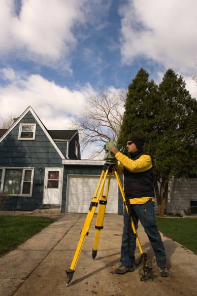
A boundary line survey marks the exact, legal edges of your property. Licensed surveyors use precise tools and official documents to create a detailed map of your land. This map shows where your property begins and ends—no guessing, no assumptions.
In Chicago’s older housing areas, where lots are narrow and space is tight, even a few inches of overlap can cause serious disputes. That’s why many homeowners choose to work with boundary survey services, which provide the accuracy and documentation needed to resolve questions before they turn into costly conflicts.
What makes the survey so valuable is its authority. The results aren’t just helpful for you and your neighbor; they’re recognized by city officials, courts, and lenders.
How It Resolves Neighbor Disputes
Property disputes can get heated quickly. A neighbor may insist the fence is in the right spot. Another might demand you move your garage. Instead of arguing, a boundary line survey offers neutral proof.
It provides clear facts, encourages fair solutions, and often helps both parties avoid lawsuits. In dense city neighborhoods, where houses sit close together, this kind of survey can prevent a minor disagreement from becoming a long, expensive legal fight.
Legal and Financial Benefits
Resolving overlaps isn’t just about peace with your neighbors. A boundary line survey also protects you legally and financially.
- Protects property value – A home with clear, documented boundaries is easier to sell.
- Prevents title issues – Overlaps can cause delays in real estate closings.
- Saves money – Surveys cost far less than lawsuits.
- Strengthens your case – If a dispute does go to court, a boundary line survey carries legal weight.
For example, imagine trying to sell a house in suburban Cook County. If a driveway crosses into the neighbor’s lot, buyers might walk away. With a proper survey, you can fix the issue—or at least disclose it clearly—before it ruins the deal.
Real-World Situations Where It Matters
Not every property needs a boundary line survey, but in overlap-prone areas, it’s a smart investment. Consider these examples:
- Older suburbs – Historic homes often sit on lots drawn long ago, when maps were less precise.
- Tight urban neighborhoods – Where houses are only a few feet apart, even a small mistake causes big problems.
- Rural subdivisions – Outdated plats or farmland splits may create unclear lines.
- Inherited properties – Families dividing land among siblings may discover records that don’t match the land itself.
In all of these cases, a boundary line survey helps prevent confusion and protect your rights.
Choosing the Right Surveyor
Not all surveys carry the same weight. To resolve overlaps, you need a licensed land surveyor.
Here’s how to make sure you hire the right professional:
- Check credentials – Only licensed surveyors can provide valid boundary line surveys.
- Ask about experience – Local knowledge matters, especially for older lots in the Chicago area.
- Review the process – A good surveyor explains how they’ll mark corners, measure distances, and create the final report.
- Keep your documents – Store the survey report safely, because you may need it again for future projects or sales.
Investing in the right surveyor gives you confidence that the results will stand up in any discussion, transaction, or court case.
Conclusion
Overlaps happen more often than property owners realize, especially in places with old records or crowded lots across Chicago and its suburbs. Instead of letting disputes drag on, a boundary line survey provides a clear, legal answer. It marks property lines with precision, helps neighbors reach fair agreements, and protects both your investment and your peace of mind.
If you think there may be an overlap, it’s best to get clarity early. A licensed surveyor can give you a clear picture of your property lines so you can move forward with confidence—whether you’re planning a project, selling your home, or simply keeping peace with your neighbors.
