
Drone Surveying in Dense Tree Cover: Better Accuracy
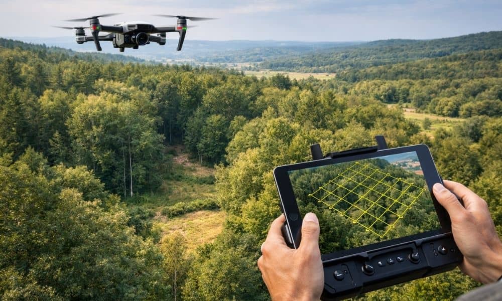
Drone surveying works great on open land. However, wooded sites around Chicago tell a different story. Trees block the ground, shadows hide details, and leaves confuse mapping software. As a result, many property owners get terrain models that look clean but miss real ground conditions. So if you plan a home build, subdivision, driveway layout, […]