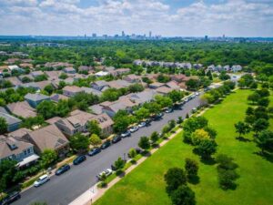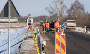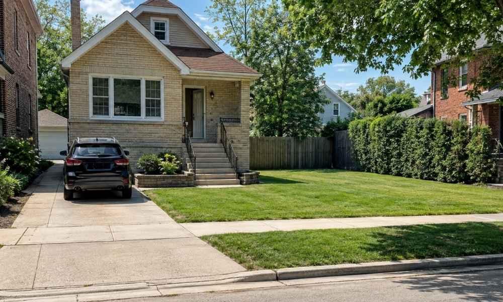
More cars, more trailers, more equipment. A lot of homes just don’t have enough space at the curb anymore. So owners start looking at side yards, back corners, and strips of grass near the driveway and think, “that could fit a car.”
Open space is not the same as usable space. A patch of grass might sit outside the actual lot line, even if it looks like part of the yard. This is where land survey property boundaries come into the conversation. Before any parking layout gets drawn, an owner needs to know where the property really ends.
Why Extra Parking Starts With the Lot, Not the Driveway
Households add vehicles faster than lots grow. A second car, a work truck, a boat trailer, and suddenly the driveway can’t hold everything. The instinct is to look at open yard space and treat it as free real estate.
That instinct skips a step. A yard can look wide open and still sit right up against, or even past, the true property line. Grass doesn’t mark ownership. Neither does a gap between two houses.
Land survey property boundaries give an owner a real number instead of a guess. That number is what turns “there’s room over there” into “here’s exactly how much room I have to work with.”
The Parking Area Needs a Known Starting Point
A parking area has to sit inside the parcel it belongs to. That sounds obvious, but plenty of parking plans get sketched using a fence line, a row of bushes, or an old driveway edge as the stand-in for the property line.
None of those features are guaranteed to match the recorded boundary. A fence might sit a few feet inside the lot. A hedge might have crept over the line years ago. A neighbor’s driveway might already cross onto the parcel.
A survey gives the owner a fixed starting point. From that point, the buildable footprint for parking becomes clear. Not an estimate. Not a guess based on what’s been there for twenty years. An actual measured edge.
This matters most for owners planning a parking pad close to a side or rear line. A few feet of error can be the difference between a legal layout and one that sits partly on someone else’s land.
When the Edge of the Lot Meets More Than Open Yard
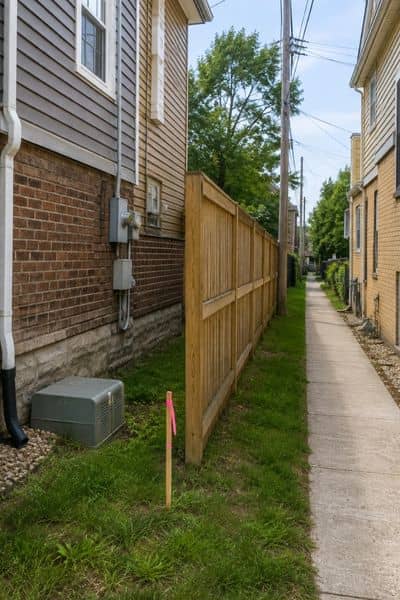
Not every strip of yard is just a yard. Some parcels have a shared access route running along one side. Some have a recorded easement for utility lines or drainage. Some have a public sidewalk that cuts across the corner an owner had in mind for parking.
None of these features automatically rule out a parking area. What matters is the specific language tied to that feature and what local rules say about it. A utility easement might allow parking on top of it. A shared access easement might not. There’s no single answer that applies to every lot.
This is why the boundary work needs to include more than just the corner markers. It should also flag anything recorded against the property that touches the proposed parking spot. That information tells the owner what needs a closer look before the design moves forward.
From Survey Measurements to a Parking Plan
Once the boundary and any relevant features are marked, a designer or contractor has something solid to build a layout on. Real dimensions. Real distances to the house, the fence, the sidewalk, and the lot line.
From there, the practical questions get easier to answer. How wide can the pad be? Where does a car need to turn to get in and out? Does the layout keep enough distance from the foundation or from a neighboring structure?
A survey gives the numbers. It does not approve the project. Zoning rules, driveway and access requirements, paving standards, and permit conditions are handled separately by the local building or planning department. A parking area that fits the lot perfectly can still need a permit before construction starts. Local zoning and access rules should be checked with the city or county office that covers the property, not assumed from the survey alone.
What to Confirm Before Turning Yard Space Into Parking
Before yard space becomes parking space, a few things need to be nailed down:
- Confirm the actual parcel boundaries, not the fence or landscaping edges.
- Identify any existing feature, structure, or access route that touches the proposed area.
- Review recorded documents tied to the property, including easements.
- Check local parking, zoning, and access requirements with the right municipal office.
- Give the survey information to whoever is designing or building the parking area, so the layout is based on real measurements.
Measure first. Design second. Build third. Skipping the first step just means redoing work later, once the real boundary shows up during a permit review or a neighbor dispute.
Frequently Asked Questions
Can a land survey confirm where I can add off-street parking?
A survey can show the location of the property boundaries and existing site features. It does not by itself decide whether a parking area is allowed. Local zoning, access, setback, and permitting rules also need to be checked.
Can I use my fence as the property boundary when planning parking?
Not necessarily. A fence may not match the legal property line. Boundary information should come from proper survey evidence and recorded documents, not from assuming the fence marks the true edge of the lot.
What if the proposed parking area is close to an easement?
The easement documents and local rules need review. An easement doesn’t automatically block parking, but its terms can affect how that part of the property may be used.
Does a property survey tell me how many parking spaces I can add?
No. A survey provides measurements and site information. The number and layout of permitted parking spaces depend on zoning, building, access, and other local rules.
Should I survey the property before designing an additional parking area?
If the design depends on knowing the actual boundaries or the location of existing site features, getting survey information first helps keep the plan from being based on wrong assumptions.