
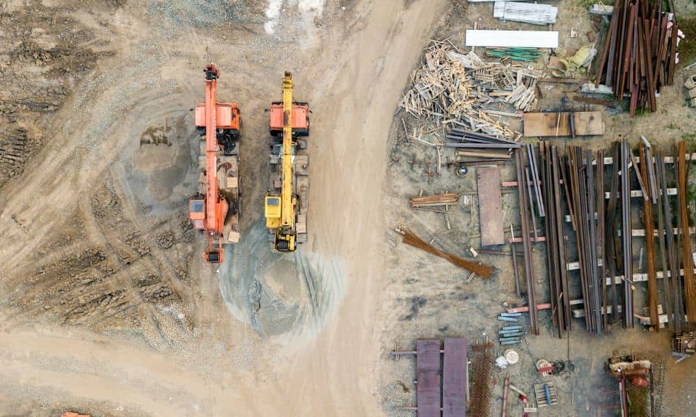
Property Surveys Are Rising from Property Tax Reassessments
If you live in Chicago, chances are you have already heard the buzz. Property tax reassessments arrived, and many homeowners were shocked by what they saw. Bills jumped. Numbers changed. And suddenly, people who never thought much about their lot lines or records started asking hard questions. At first, the focus is always on the […]
Why Aerial Surveying Is Being Re-Evaluated Nationwide
Aerial surveying has changed how land is measured and mapped. For many years, it helped surveyors work faster and safer, especially on large or hard-to-reach sites. Because of this, aerial surveying became very popular. However, across the country, aerial surveying methods are now being re-evaluated. This change does not mean the method is going away. […]
Why Infrastructure Growth Is Driving LiDAR Mapping Demand
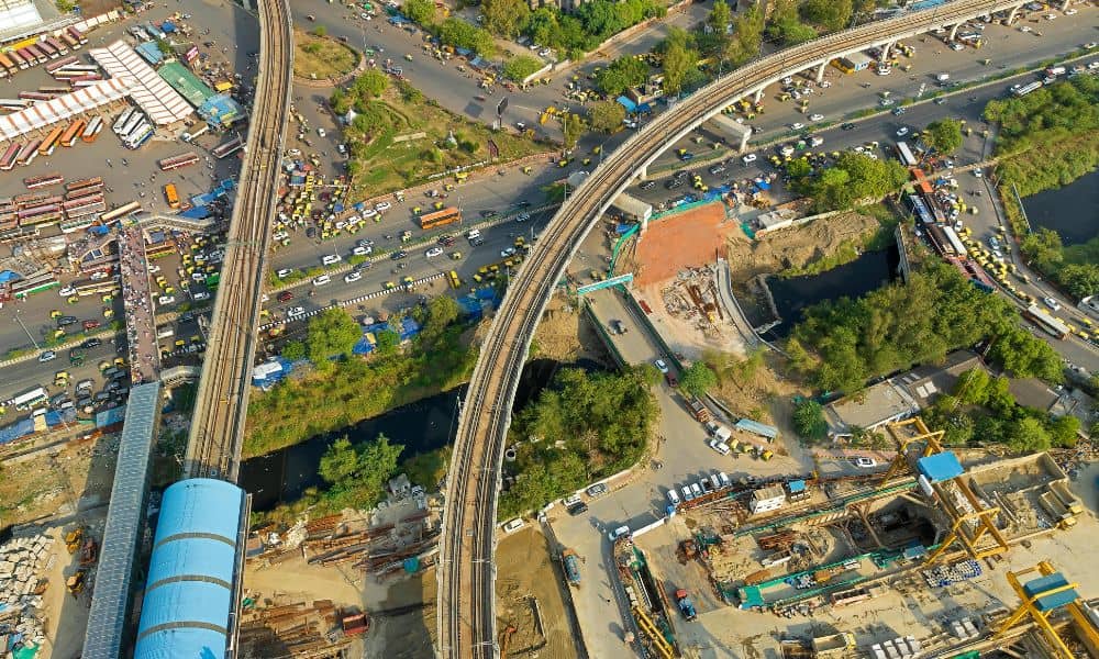
Chicago is rebuilding, even if it does not always make the news. Across the city and nearby areas, large infrastructure projects are moving forward. Rail corridors are being upgraded. Roads are being redesigned. Flood-prone areas are getting more attention. Behind all this work is something many people do not see. That is accurate ground data. […]