Aerial surveying has changed how land is measured and mapped. For many years, it helped surveyors work faster and safer, especially on large or hard-to-reach sites. Because of this, aerial surveying became very popular. However, across the country, aerial surveying methods are now being re-evaluated. This change does not mean the method is going away. Instead, it means people are using it more carefully and with better planning.
Today, clients care most about schedules, approvals, and cost. They want to know if a survey will delay construction or cause problems later. Recent changes in rules, equipment access, and project expectations have made these concerns more important than ever.
How Aerial Surveying Became Widely Used
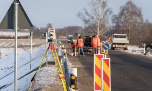
Aerial surveying became popular because it solved common problems. Traditional surveying often takes more time, especially on large properties. Crews must walk the site, set points, and work around rough ground or active construction.
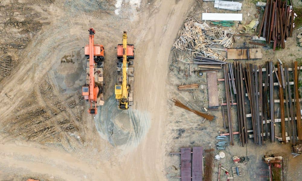
With aerial tools, surveyors could collect data from above. This reduced time on-site and improved safety. It also allowed faster coverage of large areas. Because of this, many projects began to depend on aerial data early in planning.
Another benefit involved communication. Aerial images are easy to understand. Developers, lenders, and planners could see the land clearly. As a result, decisions became easier and meetings moved faster.
Still, just because a method works well does not mean it fits every situation.
What Changed Recently Across the Country
In recent weeks, national news has focused on drone rules, approvals, and equipment limits. While aerial surveying can still be used, these changes created uncertainty. Some survey firms now question future access to certain tools or face new compliance concerns.
For clients, this does not always show right away. However, when a project depends on aerial data and that method becomes limited, delays can happen. Because of this, survey firms across the country are reviewing how they use aerial surveying.
As a result, many projects now include backup plans instead of relying on one method.
Why This Matters to Property Owners and Developers
Clients usually do not worry about technology. Instead, they worry about risk. A delayed survey can delay design, permits, and construction.
For example, if a project depends only on aerial surveying and something changes, the data may need extra checks. Ground verification may still be required. This adds time and cost that was not planned.
Because of this, clients now benefit from survey plans that stay flexible. Aerial surveying still plays an important role. However, it works best when combined with other methods.
Urban Areas Create Extra Limits
In cities, aerial surveying can face more challenges. Buildings, traffic, and people increase safety concerns. In addition, airspace rules can limit where flights happen.
Temporary restrictions can also appear with little warning. For example, nearby construction or public events may affect flight access. Because of this, urban projects often need more planning.
In these areas, aerial data works best when paired with ground work. Ground crews can capture details near property lines, utilities, and structures. Together, both methods improve results and reduce surprises.
Accuracy Standards Continue to Increase
Another reason for re-evaluation involves accuracy. Today, clients expect data that supports design, permits, and construction without issues. Engineers and agencies often require tight tolerances.
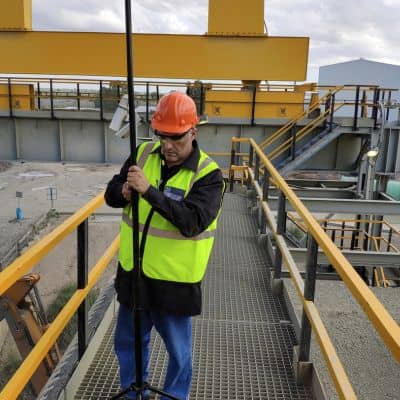
Aerial surveying provides strong surface data. However, it may not capture everything. Boundary markers, underground features, and fine elevation details often need ground checks.
Because of this, surveyors now focus more on verification. They compare aerial data with field measurements. This process builds confidence and protects the project.
Aerial Surveying Still Plays an Important Role
Even with these changes, aerial surveying remains valuable. It still offers strong benefits when used correctly.
Large undeveloped properties benefit from aerial views. Early planning also becomes easier with wide coverage images. In addition, progress tracking remains one of the strongest uses.
The difference today is how decisions are made. Surveyors now choose methods based on site needs instead of habit. This approach protects timelines and improves accuracy.
How Survey Firms Are Adjusting Their Approach
Across the industry, survey firms are changing how they work. Instead of relying on one tool, they build layered plans.
For example, a project may start with aerial surveying to capture the full site. Then, ground crews confirm control points and boundaries. This mix delivers speed while keeping accuracy high.
At the same time, firms focus more on rules, documentation, and safety. These steps protect both the surveyor and the client.
Questions Clients Should Ask Before Using Aerial Surveying
Clients do not need technical knowledge. However, asking a few questions helps avoid problems.
For example:
- Will aerial surveying meet my project needs?
- Will ground checks be included?
- How is accuracy confirmed?
- What happens if aerial access becomes limited?
Clear answers show that the survey plan is well thought out.
Why Choosing the Right Survey Partner Matters
Technology changes fast. Rules can also shift. Because of this, experience matters more than equipment.
The right survey partner understands when to use aerial surveying and when to add other methods. They look at site conditions, project goals, and approval needs early.
As a result, projects stay on track even when conditions change.
Final Thoughts
Aerial surveying is not disappearing. Instead, it is being used more wisely.
Recent nationwide changes show that no single method fits every project. Smart planning now means choosing the right mix of tools.
For property owners and developers, this shift brings better results. Flexible survey plans reduce delays and improve confidence.
In the end, aerial surveying remains a key part of modern land surveying. The difference today is how carefully it is applied.