Before any developer starts a basement conversion, get a home survey first. Not after permits. Not after hiring a contractor. First, skipping this step is one of the top reasons basement projects stall, blow the budget, or fail inspection.
Why Basement Conversions Are Growing Across Chicago Neighborhoods
Chicago developers are looking down instead of out. Lot sizes are small. Zoning rules are tight. Land costs keep climbing. Basement conversions let you add a rentable unit without expanding the building’s footprint.
Areas like Pilsen, Logan Square, and Bridgeport have seen more basement units added in recent years. Property owners want the rental income. That demand is real. But the risks are just as real when a project moves forward without the right site information.
A home survey shows you exactly what you are working with before any money goes into design or construction. It is not an extra step. It is the first step.
How a Home Survey Confirms Existing Building and Lot Conditions
Many Chicago homes were built in the early 1900s. The lot dimensions on file with the city often do not match what is actually there. Additions went up without permits. Lot lines moved. Buildings were changed over the years.
A home survey confirms:
- The exact size and legal boundaries of the lot
- Where the building sits on the lot
- Any overlap with neighboring properties
- Differences between old city records and current conditions
This matters because basement conversions often require changes to the outside of the home. Window wells, egress openings, and exterior stairways all need to fit within the actual property lines. Get it wrong and you face redesigns, neighbor disputes, or failed inspections.
Accurate survey data gives your architect and contractor the right numbers from day one.
Identifying Utility and Access Constraints Before Construction
Digging below grade almost always means running into utilities. Chicago’s underground pipes and lines are old. Gas lines, water mains, sewer pipes, and electrical conduits are not always where old maps say they are.
A home survey can show:
- Easements that limit where you can dig or build
- Utility corridors running through the property
- Restricted areas that affect where exterior entrances can go
- Setback rules that impact stairways or window well placement
These issues change how the project gets designed. If a planned window sits over a utility easement, that design has to change. Finding out during construction costs far more than finding out during planning.
A survey does not replace a utility locate request. But it gives you the full site picture so all that information makes sense together.
Evaluating Site Grading and Water Management Around the Property
Water is the biggest ongoing problem in Chicago basement conversions. The city sits on flat ground with heavy clay soil that drains slowly. When a basement becomes a livable space, water management becomes a code issue, not just a maintenance issue.
A home survey shows elevation data including:
- How the ground slopes around the building
- Where rain water flows when it hits the surface
- Low spots near the foundation where water collects
- How your lot sits compared to the lots next to it
You need this information to plan proper drainage, position sump pits, and design waterproofing. Chicago has clear standards for below-grade living spaces. The city has dealt with major flooding, and the Department of Buildings takes these requirements seriously.
Developers who skip this step often pay for costly fixes after the build is done. Survey data helps you catch these risks early, while changes are still affordable.
Using Survey Data to Reduce Delays and Unexpected Project Costs
Most construction delays do not come from one big problem. They come from a string of small surprises, all of which could have been found before work started.
Accurate survey data helps by:
- Giving architects real dimensions so drawings stay correct through the project
- Letting contractors plan excavation without guessing
- Cutting down on change orders caused by site conditions
- Speeding up permit review when your documents match what is actually on the lot
Chicago’s Department of Buildings requires accurate site plans for basement conversion permits. When those plans use current, verified survey data, approvals move faster.
Developers who get a home survey before planning begins run into fewer surprises during the build. That is not luck. It is what happens when you make decisions based on real information instead of old assumptions.
Frequently Asked Questions
1. What is a home survey?
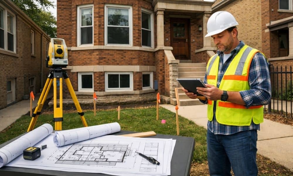
A home survey is a professional measurement of a property’s boundaries, structures, and site features. A licensed land surveyor does the work. The finished document shows lot lines, building locations, easements, and elevation data. It is the official record of what exists on a property at the time of the survey.
2. Why should I get a home survey before converting a basement?
A home survey shows you what you are working with before design and construction begin. It finds boundary issues, utility conflicts, and drainage problems that affect how a basement conversion gets designed and approved. Without it, you are making decisions based on guesses.
3. Can a home survey identify issues that may affect a basement renovation?
Yes. A survey can find overlaps with neighboring properties, utility easements that block access or digging, grade problems that point to drainage risks, and gaps between old city records and current site conditions. These are the exact issues that cause delays and cost overruns when found mid-build.
4. Do older Chicago homes need updated surveys before remodeling?
In most cases, yes. Homes built before World War II often have records that are no longer accurate. Additions, lot line changes, and shifts in infrastructure over the years mean old documents may not reflect current conditions. An updated survey gives your team reliable data to work from.
5. How long is a home survey valid for renovation planning purposes?
There is no hard expiration date. Most architects, contractors, and city reviewers prefer surveys done within the last one to three years. If anything has changed on or near the property since the last survey, get an updated one before starting design or filing permits.